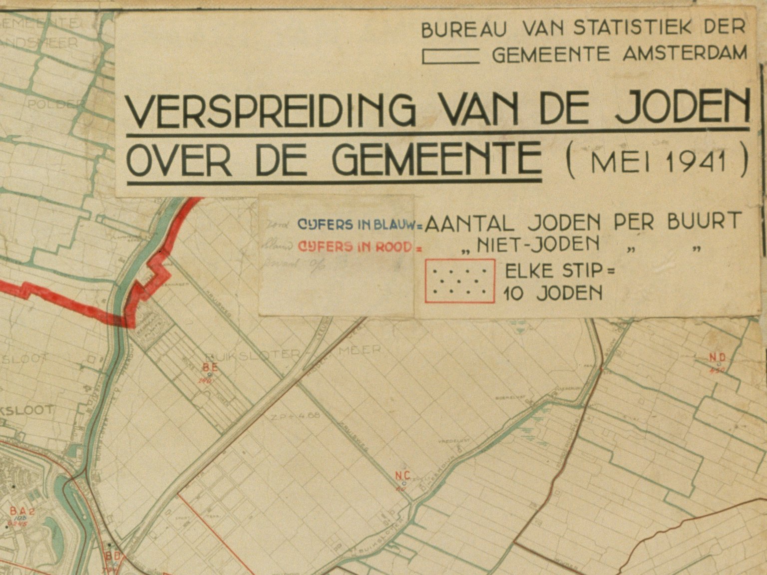
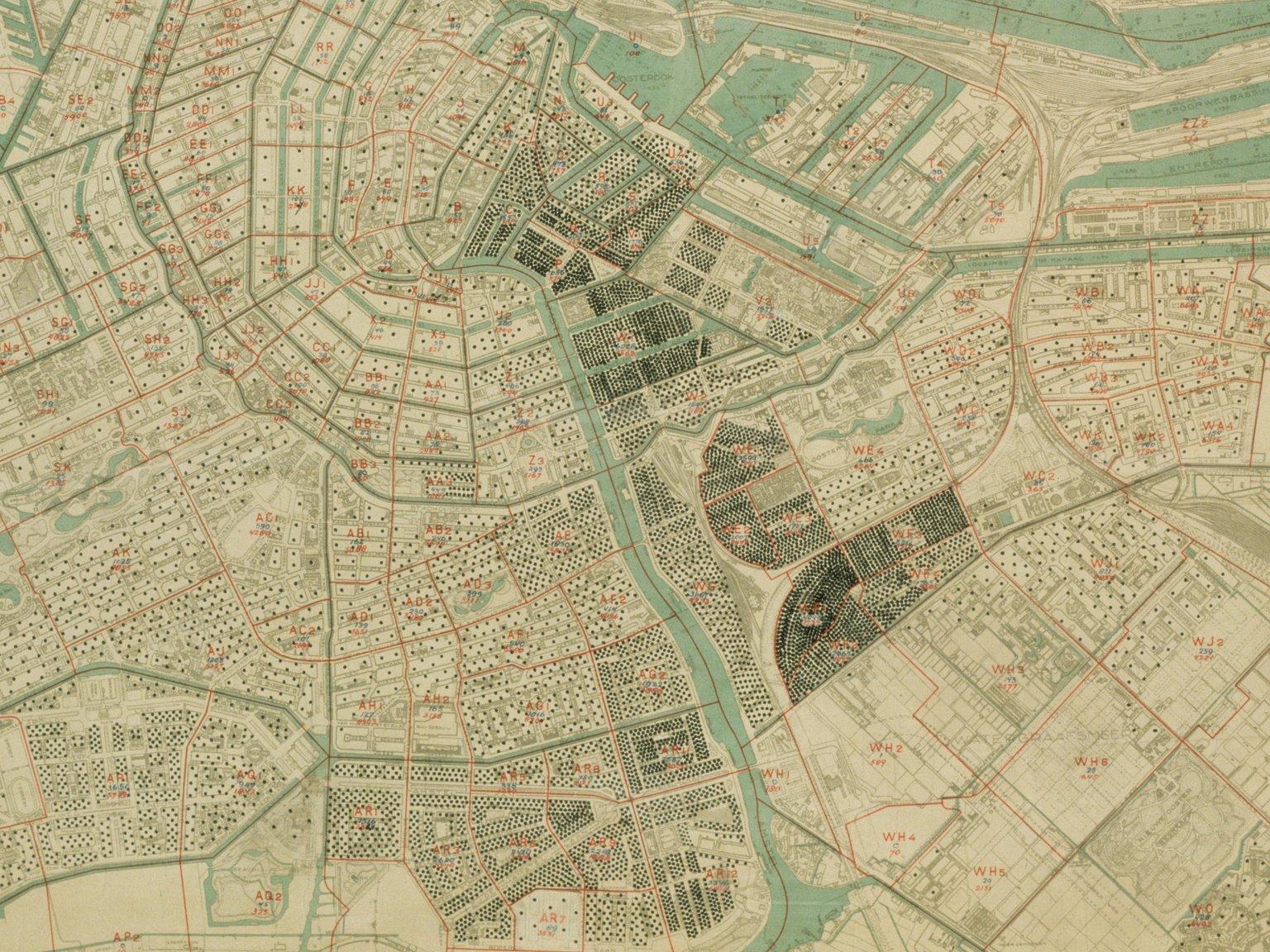
In May 1941, the municipality of Amsterdam provided the German occupiers with an accurate overview of Jewish homes in the city. Dots were used to indicate how many Jews lived on each Amsterdam street. One dot equalled ten Jews, so the map was also known as the ‘dots map’.
At that time, 80,000 of the 140,000 Dutch Jews lived in Amsterdam.
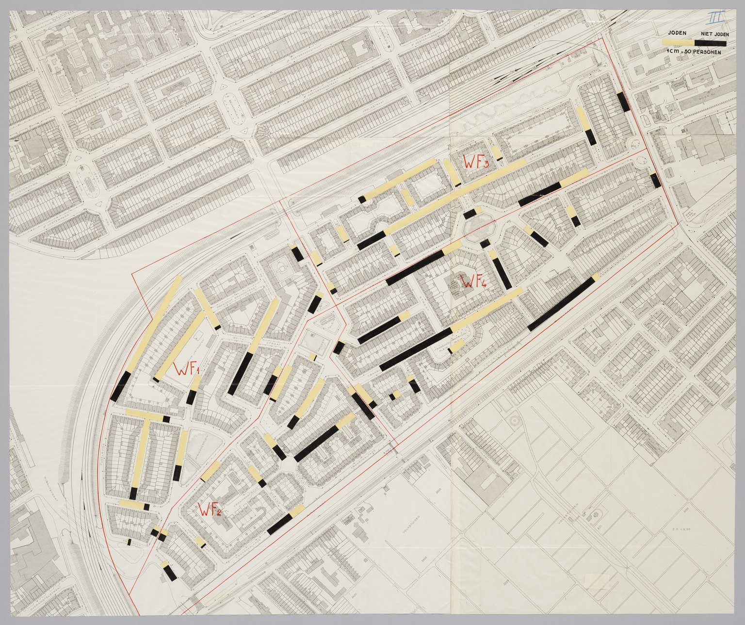
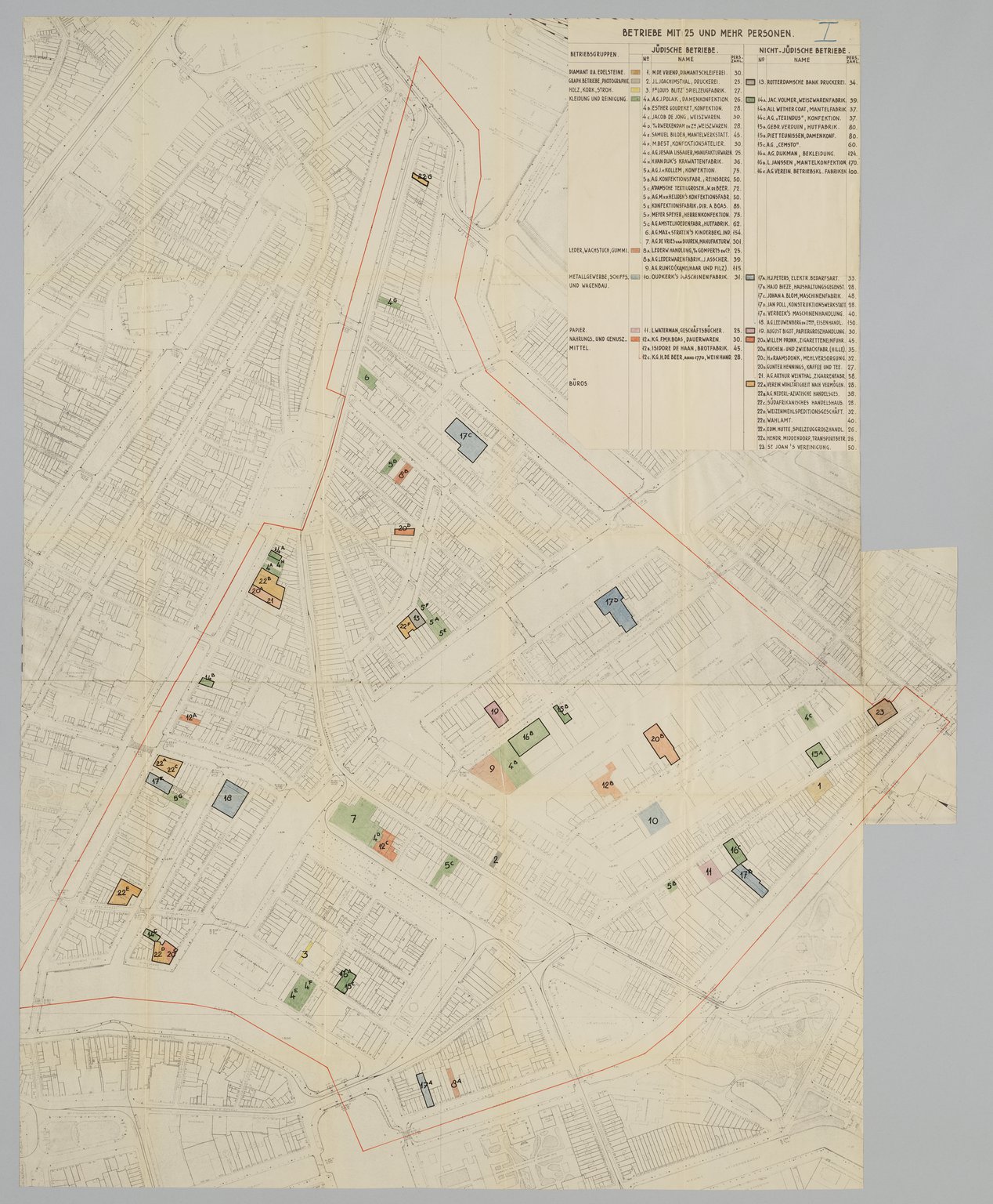
The municipality also drew up other maps locating Jewish residents or showing information about Jewish businesses. This was unambiguous official collaboration.


